
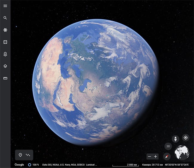
How Often are Satellite Images Updated on Google Maps?
Frequency of Updates
Satellite imagery used on Google Maps comes from various sources and can be updated with varying frequency depending on location and conditions. While Google’s general policy targets an update every 5 years, imagery from as early as the 2000s remains available in some areas. More populated locations tend to see updates every few years or less.
Factors Affecting Update Frequency
Several factors influence how often satellite views are refreshed. Updates may happen sooner after major events like natural disasters to document damage and recovery efforts. Areas experiencing rapid development also tend to get more regular updates to capture infrastructure and landscape changes. Privacy and national security laws can also slow the pace of imaging real-time or worldwide data access. Technical challenges of compiling multi-source data into a seamless online viewer adds to processing timelines.
Case Study: Texas After Hurricane Harvey
When a significant storm strikes, imagery is prioritized for impacted regions. In 2017, Google’s satellite views of coastal Texas and the cities of Houston and Rockport were refreshed within a week of Hurricane Harvey to assess flooding and wind damage. Users could witness the aftermath and recovery unfolding from space. Near-real-time mapping supported relief and rebuilding efforts.
Frequent Updates in Growing Metropolitan Areas
Population booms driving construction booms drive more frequent satellite refresh rates. In the Dallas-Fort Worth metroplex, Google Maps imagery sees updates every few months on average due torampant development. Changes to the landscape across wide suburban expanses mean the area stays relatively current with imagery seldom over a year old at a given location.
Factors Like Weather Can Delay Updates
Occasionally, there are glitches that result in outdated imagery displayed instead of the most recent pass. Heavy cloud cover is one reason a past image may replace the normally shown latest view. Without direct timeline tools, it’s hard to verify the displayed satellite data’s actual date outside major metro updates. Minor gaps could go unnoticed.
Aerial Photography Supplements Satellite Views
While satellites provide regional overviews, high-resolution closeups come from planes with advanced cameras. Much of the detailed street-level imagery zooming into populated zones uses aerial photographs. These more granular cityscape shots also undergo renewal cycles varying by location growth rates and needs. Combined data sources render seamless online mapping experiences.
Conclusion
Numerous variables influence the cadence of satellite map refreshes by Google and other providers. Major events, population shifts, privacy protocols, and technical complexities all factor into update timelines ranging from months to years depending on the viewed location. Core aims center around currency and completeness to best serve users worldwide with informative, up-to-date geospatial perspectives.
